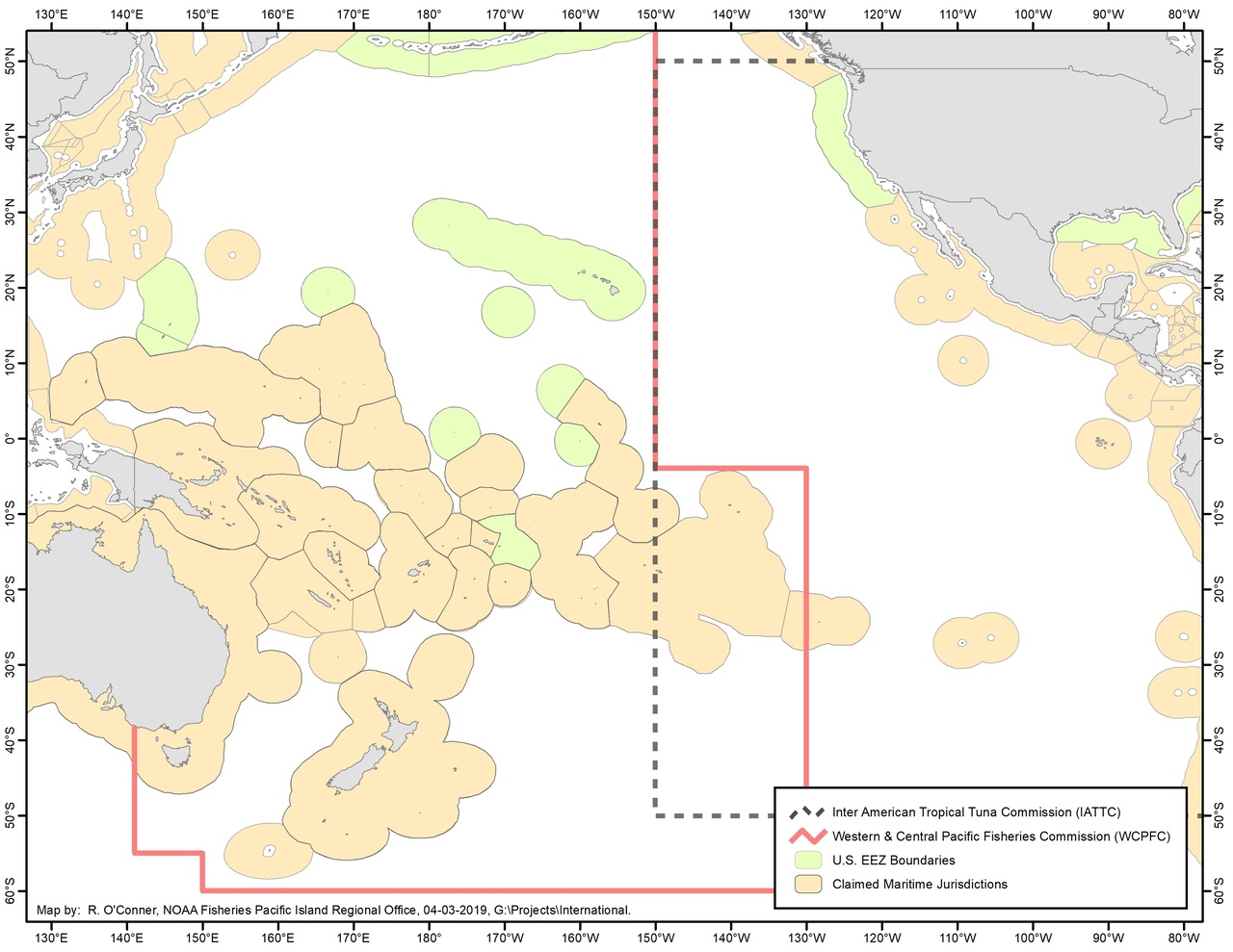
IATTC and WCPFC Convention Area Map
Boundaries and fishery map of regional fisheries management organizations of the Pacific Ocean.
The United States is a member of both the Inter-American Tropical Tuna Commission (IATTC) and the Commission on the Conservation and Management of Highly Migratory Fish Stocks in the Western and Central Pacific Ocean (WCPFC). The convention areas for the IATTC and WCPFC overlap in the Pacific Ocean waters within a rectangular area bounded by 50° S. latitude, 4° S. latitude, 150° W. longitude, and 130° W. longitude (“overlap area”).